Your Escape On Dabob Bay &
Hood Canal !

Julie & Rick Welcome You
To Relax And Explore On
The Olympic Peninsula!


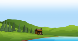
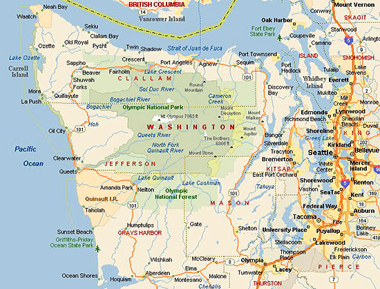
Our cottage is on the west side of Dabob Bay, at the top of the Hood Canal, near the town of Quilcene.


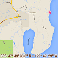
Quilcene is located on Highway 101, one hour southeast of Port Angeles or 45 minutes south-southwest of
Port Townsend, Washington.

Come visit our natural corner of
the world away from the crowds!

Dabob Bay Cottage, Quilcene, Washington

Where Are We & What's Nearby?

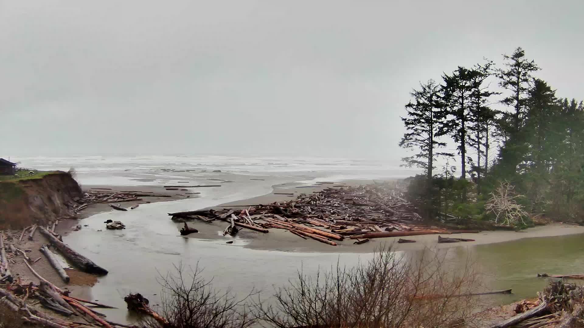
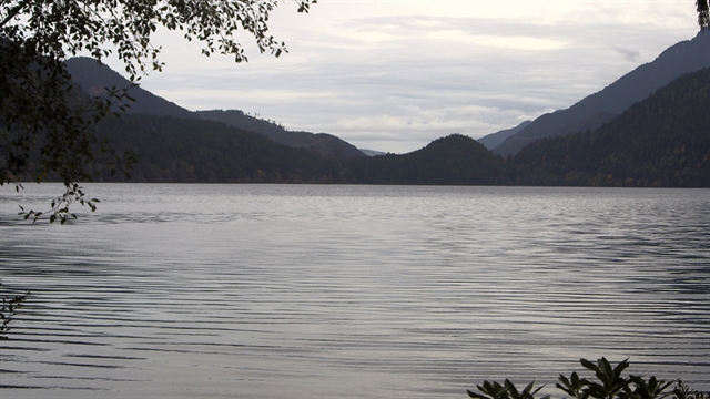
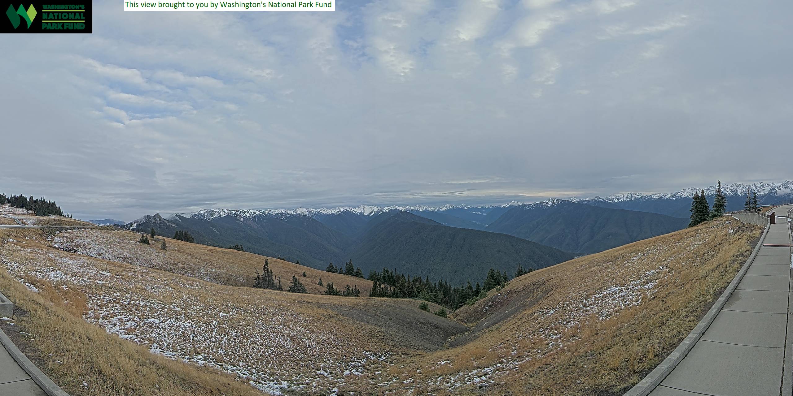
Click WebCams On Right To Enlarge, Click On The Enlargement To Shrink. WebCams can go offline (blank/old view) especially in Winter, so check back!


Dabob Bay Cottage: We are here!

Dabob Bay is one of the largest and most-pristine salt marsh bay estuaries in Puget Sound. We are located on the east side of the Bolton Peninsula, which separates Quilcene Bay and Dabob Bay — on the north end of Hood Canal. Dabob Bay is home to six family-owned shellfish companies and is known worldwide for the quality of its water, shellfish and diverse wildlife.

The Washington State Department of Natural Resources Dabob Bay Natural Area, on the bay's north shore, was established in 1984 to protect our rare salt marsh and sand spit ecosystems. The natural area includes mature coastal forests, coastal streams, feeder bluffs, spawning areas, eelgrass beds, native Olympia oyster beds, tidelands and mudflats used by juvenile salmon and shorebirds; and its open marine waters which are used by salmon, marine birds, harbor seals and orcas. It's amazing to live here and we love sharing it with you.

Links: (links open a new window or tab, close the new window/tab to return)

Quilcene: Our small town on Highway 101. Stop by our historical museum!

Tide Table: For Dabob & Quilcene Bays. Fishing info!

Mount Walker: Just south on Highway 101. Great hiking or driving with an
  incredible view from the top on a clear day.

Hood Canal: We're located on a northern bay of this natural fjord.

Dungeness Lighthouse: NW of Sequim, the lighthouse lies at the end of
  a 5.5-mile sand spit — the longest in the U. S. It's a great hike at low tide!

Olympic National Park: Our showcase is also a UNESCO International
  Biosphere Reserve
and in 1981, was designated a World Heritage Site.

Hurricane Ridge: This Olympic Mountains viewpoint lies at 5,242 feet in
  Olympic National Park (OLP). It's 17 miles inland from Port Angeles.

Crescent Lake: On Highway 101 — 1.5 hours away in north-central OLP.

Olympic National Forest: Surrounding the national park center, are 628,115
  acres of forest land encircling the Olympic Mountains — ready to explore!

North Hood Canal Chamber of Commerce: Check out the Emerald Towns!

Port Townsend: Our county seat is a beautiful victorian-styled port town.
  Just 45 minutes away!

Coho Ferry: After an hour drive to Port Angeles, it's just another 90 scenic
  minutes sailing to Victoria, British Columbia, Canada!

Coupeville Ferry: Sails from Port Townsend (on the Quimper Peninsula)
  to Coupeville, on Whidbey Island.

Port Townsend Leader: Port Townsend and Jefferson County news.

Peninsula Daily News: Olympic Peninsula news focused on Jefferson
  and Clallam counties.


La Push (west coast)

Kalaloch Creek (west coast)

Crescent Lake (ONP)

Hurricane Ridge

Port Angeles—Victoria Ferry

Dungeness Lighthouse

Sequim Valley Airport

Port Townsend (live video feed)

Port Townsend Airport

The Olympics From Poulsbo

Dabob Bay Crab Pot!    [] = big

Hood Canal Bridge (to west)